Discover Bird Migration
… with Weather Surveillance Radar
Weather surveillance radar (WSR) is an excellent tool for determining where birds are flying, how many birds are aloft, and in what direction, speed, and altitudinal strata they are moving1. Use the four BirdCast products below to discover and to explore patterns of nocturnal bird migration in the contiguous U.S.
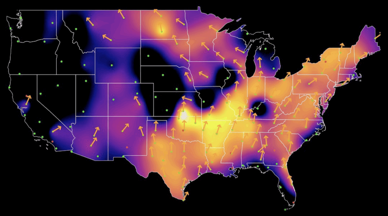
Live Maps
Discover how much, where and when, and in what direction nocturnal bird migration is occurring in near real-time.
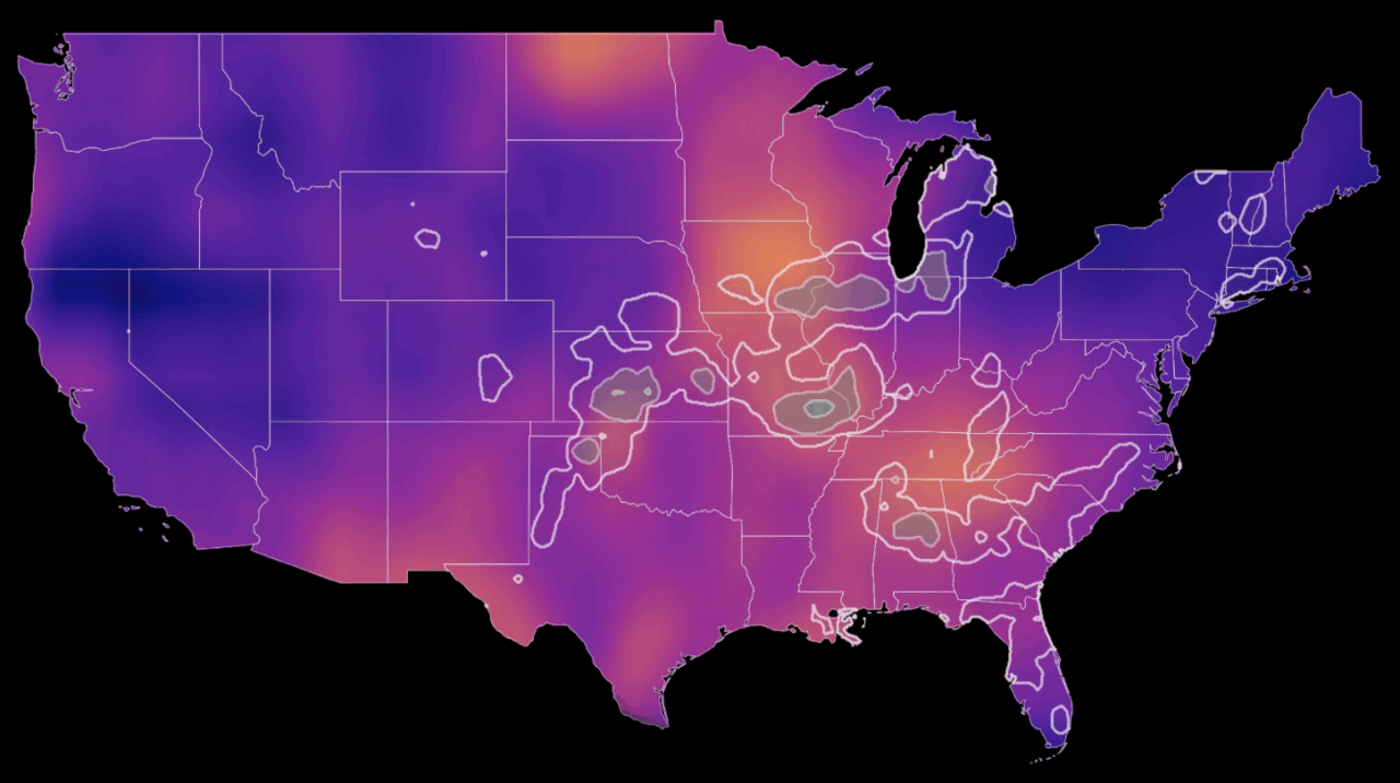
Forecast Maps
Learn how much, where and when nocturnal bird migration will occur.

Your Local Dashboard
Explore details of nocturnal bird migration in your county and state.
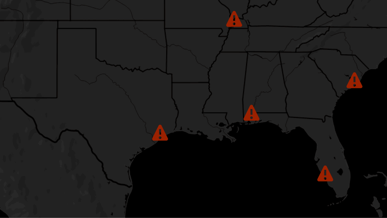
Migration Alerts
Know when intense bird migration will be occurring in any city in the contiguous U.S.
Email alerts available in 216 U.S. cities
- Disclaimer: radars in mountainous areas (e.g. the Rockies) have obstructions that restrict radar coverage, providing the appearance of no migration where migration may be occurring. Radars may occasionally shut down for maintenance, and in these periods no data are available ↩︎
Scientific Team
BirdCast is made possible by the participating scientists at the below institutions, and many other contributors.